World Elevation Map for Elevation and Elevation Maps of Cities/Towns/Village
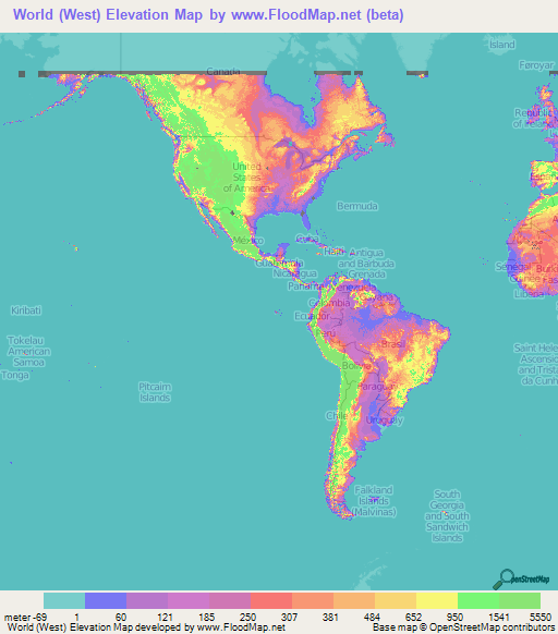
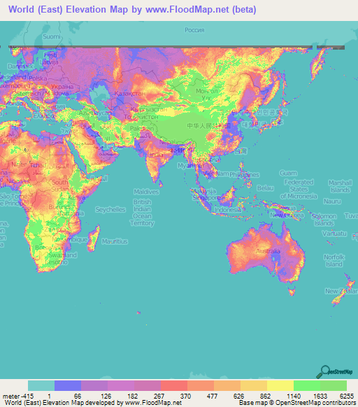
Below is the elevation maps of world.
Along with a full elevation map, 3 seperate maps of west, middle and east parts of the world are there.
Averaging is used to display the pixels on the elevation map from the NASA's SRTM data.
These maps also give idea of topography and countour of the world.
Please note that only upto +-60 degrees latitude are covered.
 |  |
 |  |
Select a country from the following lis.
Then it will display the list of the major cities in the selected country.
There you can browse different cities to see the elevation of the city along with elevation maps.
Currently the elevation maps of only major cities are available.
These maps also provide topograhical and contour idea.