• World Elevation Map
  • Flood Map
  • Orange Walk,Belize Driving Distance Calculator
Check our interactive Flood Map / Elevation Map for Orange Walk,Belize

Elevation and Elevation Maps of Cities/Towns/Villages in Orange Walk,Belize

Tweet    

Below you will able to find elevation of major cities/towns/villages in Orange Walk,Belize along with their elevation maps.
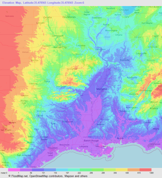
The Elevation Maps of the locations in Orange Walk,Belize are generated using NASA's SRTM data.
These maps also provide topograhical and contour idea in Orange Walk,Belize. The elevation of the places in Orange Walk,Belize is also provided on the maps.
👉NEW!Interactive Color Elevation Map

Orange WalkYo CreekYalbac CampXcanhaXaxe Venic
Water BankWarrie CampWamilVaquerosTrinidadTrial Farm
Tres Leguas Mennonite SettlementTres LeguasTres BrazosTacistalSpring CampSierra de Agua
ShipyardSanta CruzSan RomanSan PabloSan LuisSan Lorenzo
San LazaroSan Juan BankSan JuanSan Jose PalmerSan JoseSan Jose
San FelipeSan EstevanSan AntonioRejollaReinlandRancho
RamonalQuatro LeguasPiedregalPettvillePescado CampPascua Camp
RositaNeustadtNeuendorfNarrows LandingMammee CampLondon
Little Bermudian LandingLagartoKaway CampIndian ChurchHoney CampHill Bank
Guinea GrassGongoraGnadenthalGnadenfeldGallon JugEsperanza
El BrazoEdenthalDriving CampDouglasCorozalitoCorozal
CocosChan PondChan Pine RidgeChan LimonCedar CrossingCashew Tree
CarmelitaCanal BankBurnt GroundBurnham HallBlumenfeldBlue Creek Village
Blossom BankBarquedier SierraBacklandingAugust Pine RidgeAndersons Camp
© 2020 FloodMap.net | Contact: floodmap.net@gmail.com

Elevation Map Generator

Elevation Map Generator

FloodMap Pro
Only $9/mo
Now FloodMap Pro has Elevation Map Generator
👉 Select Location, Zoom and Map Size
👉 Higher Resolution and Large Size
🎬 Watch Demo Video

Start your 7 day trial
💡 Your card will be charged after your 7 days trial ends. But if you cancel the plan before your 7 days trial ends, your card will not be charged.