• World Elevation Map
  • Flood Map
  • Saint George,Grenada Driving Distance Calculator
Check our interactive Flood Map / Elevation Map for Saint George,Grenada

Elevation and Elevation Maps of Cities/Towns/Villages in Saint George,Grenada

Tweet    

Below you will able to find elevation of major cities/towns/villages in Saint George,Grenada along with their elevation maps.
The Elevation Maps of the locations in Saint George,Grenada are generated using NASA's SRTM data.
These maps also provide topograhical and contour idea in Saint George,Grenada. The elevation of the places in Saint George,Grenada is also provided on the maps.
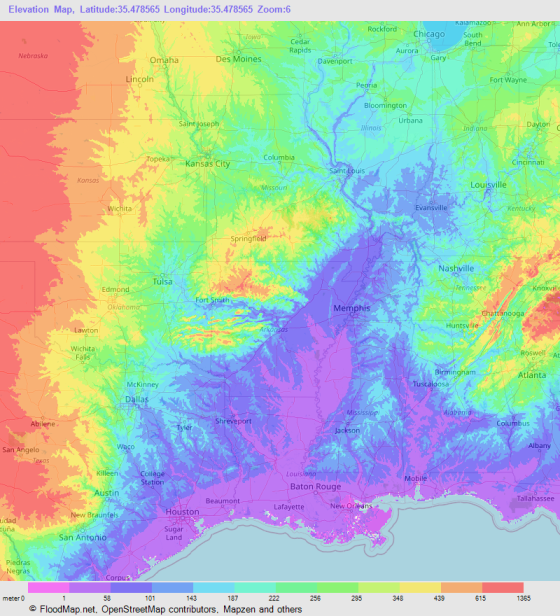
👉NEW!Interactive Color Elevation Map

Saint George'sWoburnWillisWhite GunVendome
True BlueThe LimeThe CliffThe BocasTempeTanteen
SpringsSnug CornerSans SouciSaint Paul'sRuth HowardRichmond Hill
RichmondRetreatRavineRadixPetit CalivignyPetit Bouc
ParadePaddockNew HampshireMount WeldaleMount RoyalMount Moritz Land Settlement
Mount MoritzMount HeliconMount GayMount AiryMorne RougeMorne Jaloux Ridge
Morne JalouxMorne DocteurMont ToutMoliniereMarianMardigras
MangoLower WoburnLance aux EpinesLa ModeLaborieKa-fe Beau
Hyde ParkHorneHermitageHappy HillGwa KayGretna Green
GrantonGrand MalGrand AnseGolflandsFrequenteFort Jeudy
FontenoyFalegeEgmontD'ArbeauConstantineConfer
Clarkes CourtCallisteCalivignyCafeBrizanBoca
Blow HoleBelmontBeaulieuBambooAmber Belair
© 2020 FloodMap.net | Contact: floodmap.net@gmail.com

Elevation Map Generator

Elevation Map Generator

FloodMap Pro
Only $9/mo
Now FloodMap Pro has Elevation Map Generator
👉 Select Location, Zoom and Map Size
👉 Higher Resolution and Large Size
🎬 Watch Demo Video

Start your 7 day trial
💡 Your card will be charged after your 7 days trial ends. But if you cancel the plan before your 7 days trial ends, your card will not be charged.