• World Elevation Map
  • Flood Map
  • Hajdu-Bihar,Hungary Driving Distance Calculator
Check our interactive Flood Map / Elevation Map for Hajdu-Bihar,Hungary

Elevation and Elevation Maps of Cities/Towns/Villages in Hajdu-Bihar,Hungary

Tweet    

Below you will able to find elevation of major cities/towns/villages in Hajdu-Bihar,Hungary along with their elevation maps.
The Elevation Maps of the locations in Hajdu-Bihar,Hungary are generated using NASA's SRTM data.
These maps also provide topograhical and contour idea in Hajdu-Bihar,Hungary. The elevation of the places in Hajdu-Bihar,Hungary is also provided on the maps.
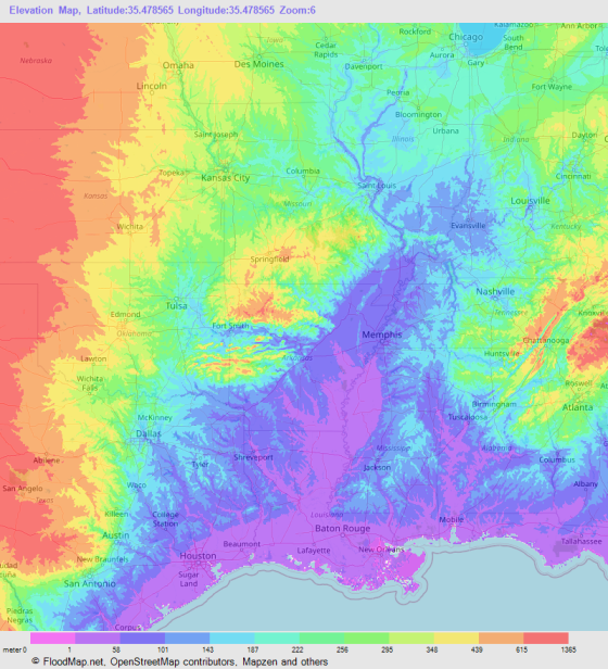
👉NEW!Interactive Color Elevation Map

DebrecenHajduboszormenyHajduszoboszloHajdunanasBalmazujvaros
BerettyoujfaluPuspokladanyHajduhadhazHajdusamsonHajdudorogDerecske
NadudvarPolgarNyiradonyLetavertesKabaTeglas
KomadiEgyekHosszupalyiVamospercsTiszacsegeEbes
FoldesBiharkeresztesNyiracsadNyirabranyMikepercsHajduszovat
SarretudvariBiharnagybajomBarandPocsajGorbehazaBagamer
NagyrabeSarandKonyarMonostorpalyiCsokmoNyirmartonfalva
HajdubagosHortobagyZsombokosZsiphalomduloZsakosZodony
ZelemerZadokosduloVolgyesViztisztatanyaVizesduloVillongo
VightanyaVidatanyaVidakertViczmanditanyaVetesitanyaVertesliget
VerestengerVeresszikduloVeres Imre-tanyaVasarter FatelepVarytagVargatanya
VargatanyaVargatanyaAcsaspusztaValeriaduloVakhelyduloVajnatanya
VajdaduloVadaszduloUrmoshatUjvilagUjtikosUjtelep
UjtelepUjtelepUjtelepUjtanyaUjszolloskertUjszollo
UjszentmargitaToldTokozTokozTokostanyaTohat
TofaluTobytelepTivoranyTisztavizTiszavolgyTiszagyulahaza
TetetlenTepeTelekipusztaTelekiTelekfold
© 2020 FloodMap.net | Contact: [email protected]

Elevation Map Generator

Elevation Map Generator

FloodMap Pro
Only $9/mo
Now FloodMap Pro has Elevation Map Generator
👉 Select Location, Zoom and Map Size
👉 Higher Resolution and Large Size
🎬 Watch Demo Video

Start your 7 day trial
💡 Your card will be charged after your 7 days trial ends. But if you cancel the plan before your 7 days trial ends, your card will not be charged.