• World Elevation Map
  • Flood Map
  • Yerushalayim,Israel Driving Distance Calculator
Check our interactive Flood Map / Elevation Map for Yerushalayim,Israel

Elevation and Elevation Maps of Cities/Towns/Villages in Yerushalayim,Israel

Tweet    

Below you will able to find elevation of major cities/towns/villages in Yerushalayim,Israel along with their elevation maps.
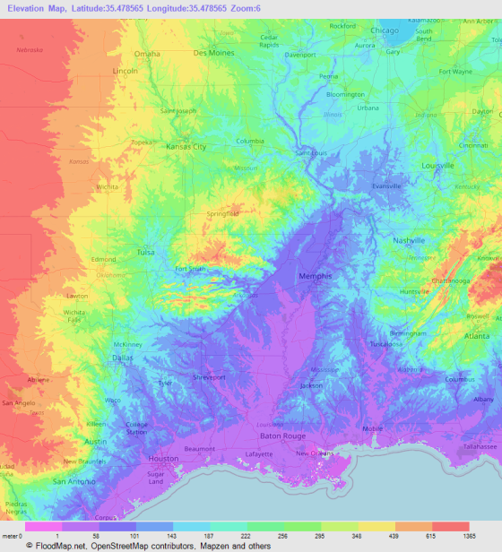
The Elevation Maps of the locations in Yerushalayim,Israel are generated using NASA's SRTM data.
These maps also provide topograhical and contour idea in Yerushalayim,Israel. The elevation of the places in Yerushalayim,Israel is also provided on the maps.
👉NEW!Interactive Color Elevation Map

JerusalemWest JerusalemBet ShemeshOld CityMevo Betar
Abu GhaushZur HadassaHar AdarNetiv HaLamed HeZekharyaZanoah
ZafririmYish`iTiroshTarumTa`ozTal Shahar
ShoreshSho'evaSedot MikhaSanhedriyyaRomemaRogelit
Ramot EshkolRamat Razi'elRamat RahelQiryat Ye`arimQiryat HaYovelQiryat `Anavim
OraNewe Ya`aqovNewe Mikha'elNewe IlanNes HarimNehusha
NahshonNahamMoza `IllitMozaMoskobiyaMevasseret Ziyyon
Mevasseret YerushalayimMesillat ZiyyonMe NeftoahMatta`Massu'aMa`oz Ziyyon
ManahatMahseyaMa`ale HaHamishaLuzitLi OnKesalon
Kefar UriyyaKefar Sha'ulKefar Salma`Isawiya`Ir GannimHartuv
Har'elGiv`ot MordekhayGiv`at Yesha`yahuGiv`at Ye`arimGiv`at ShemeshGiv`at Sha'ul
Giv`at RamGefenEven SappirEtanimEshta'ol`Ein Rafa
Deir RafatTalpiyyotBet NeqofaBet Me'irBet HaKeremBeqoa`
Beit JimalBayit WeganBar GiyyoraAvi`ezer`Amminadav`Agur
AdderetZovamaale adumimZor`aZelafonGerman Colony
© 2020 FloodMap.net | Contact: [email protected]

Elevation Map Generator

Elevation Map Generator

FloodMap Pro
Only $9/mo
Now FloodMap Pro has Elevation Map Generator
👉 Select Location, Zoom and Map Size
👉 Higher Resolution and Large Size
🎬 Watch Demo Video

Start your 7 day trial
💡 Your card will be charged after your 7 days trial ends. But if you cancel the plan before your 7 days trial ends, your card will not be charged.