• World Elevation Map
  • Flood Map
  • Beyrouth,Lebanon Driving Distance Calculator
Check our interactive Flood Map / Elevation Map for Beyrouth,Lebanon

Elevation and Elevation Maps of Cities/Towns/Villages in Beyrouth,Lebanon

Tweet    

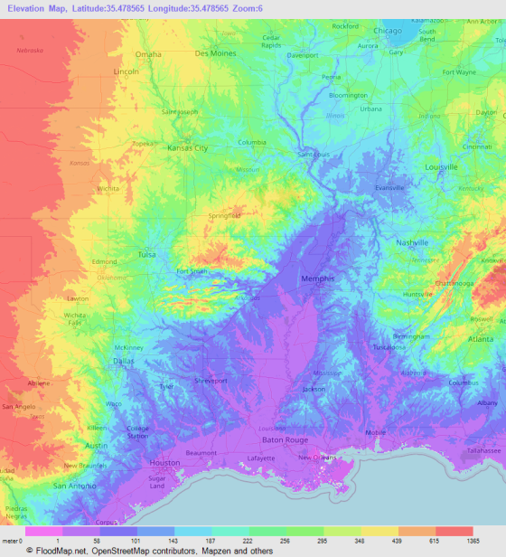
Below you will able to find elevation of major cities/towns/villages in Beyrouth,Lebanon along with their elevation maps.
The Elevation Maps of the locations in Beyrouth,Lebanon are generated using NASA's SRTM data.
These maps also provide topograhical and contour idea in Beyrouth,Lebanon. The elevation of the places in Beyrouth,Lebanon is also provided on the maps.
👉NEW!Interactive Color Elevation Map

BeirutRa's BayrutZuqaq al BalatRas en NabaaMina' al Hisn
`Ayn al MuraysaAs SayfiEr RmeilAr RawshahEn NasraAl Qantari
Al MusaytbahAl MudawwarEl MazraaAl Marfa'Al Hamra'Bachoura
El AchrafiyeRas BeyrouthEl HamraChatilaRaoucheEs Siyar
Ain et TineSaqiet ej JanzirUnescoMar EliasBourj Abou HaidarEl Ouata
Ramlet el BaidaSabraEl MaqassedBasta el FaouqaBasta et TahtaEl Maarad
Bab IdrissEj JimmaizeMar MkhayelMar MarounMar NqoulaFourn el Hayeck
Es SioufiMar MitrEl KarantinaEl QbaiyatKarm ez ZaitounHabs el Qaiaa
El CabbouchiyeEl IzaaEs SnoubraEl OuardiyeJounblatQantari
Tallet ed DrouzEz ZarifBatrakiyeOuadi Bou JmilEl MajidiyeAin el Mraisse
Ej JeitqouTariq en NahrNor HadjenEl MaslakhPalais de JusticeTariq ej Jdide
Ramlet el BaydaNouaireEl MsaitbeEl AamliyeDarl el FatouaHayachene
El GhabeSassineAl RachidineMar MikhaelTayounehFurn el Chebbak
HaddadAdleihFurn Al HayekBechara el-Khoury SquareSaloumiTallet el Khayyat
© 2020 FloodMap.net | Contact: floodmap.net@gmail.com

Elevation Map Generator

Elevation Map Generator

FloodMap Pro
Only $9/mo
Now FloodMap Pro has Elevation Map Generator
👉 Select Location, Zoom and Map Size
👉 Higher Resolution and Large Size
🎬 Watch Demo Video

Start your 7 day trial
💡 Your card will be charged after your 7 days trial ends. But if you cancel the plan before your 7 days trial ends, your card will not be charged.